
| Date | 3/9/2013 |
| Location / Trail | Cripple Creek Trail - 703 |
| Weather | Sunny |
| Hiking Buddies | Bodie (my dog) |
| Start / End | 10:45 AM – 3:15 PM |
| Distance / Elev | 8.5 miles |
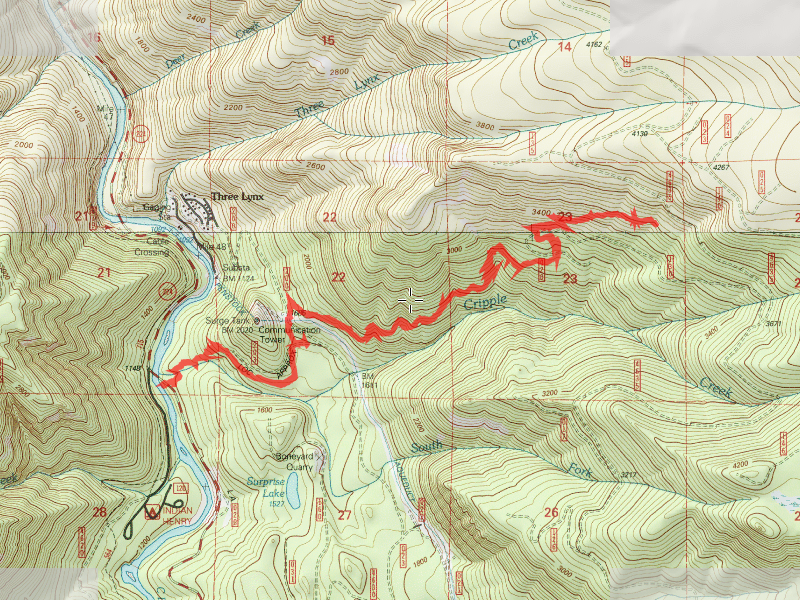
One thing that I did not remember – the lower part of this trail is BEAUTIFUL! It goes through a bunch of beautiful old growth, especially where it is near Cripple Creek. This is virgin forest that was never cut and is impressive. I also forgot how much elevation you gain on this trail. I gained somewhere between 2600 and 3000 feet of elevation on this hike (depending on who you believe). The first view on the hike is shortly after you cross the pipeline road:

Just before the interesting hillside meadow, you come the place many people refer to as “the grotto” – It is a weeping waterfall cliff below the hillside meadow:

This is really neat to see in the winter time when it is all frozen!
Continuing up the trail you proceed through a bunch of really nice forest – mixed ages, and some really nice old growth. The trail is in excellent condition:

Hiking up farther, the snow came pretty quickly (this was a little over 3200′ I think):

And finally got too deep to navigate through the young alders – This is where we turned around – about .2 miles from the 4635 road crossing:

This photo was interesting for two reasons – 1 – It was interesting to see how much more snow was in the old clearcut – in the uncut woods, there was almost no snow – in the old clearcut, there was 2+ feet. 2 – The tree on the right was used as an anchor for logging operations a long time ago. Amazingly enough, it doesn’t seem to have killed the tree.

After turning around in the deep snow in the old clearcut, we made a hasty and uneventful descent back down to the truck. It was a really nice, warm (for late winter) day in the woods.