
| Date | 4/1/2016 |
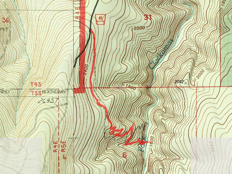
| Location / Trail | Hillockburn Trail - 516 |
| Weather | Sunny |
| Hiking Buddies | Bodie (my dog) |
| Start / End | 9:40 AM – 11:40 PM |
| Distance / Elev | 3.1 miles |
Anyway, we got to the trailhead about 9:30 and headed down shortly after. There were no shooters at the shooting gallery up the road, however we did see evidence of shooting down the trail. In retrospect I probably should have parked my truck in front of the trailhead to try and tell any potential shooters that someone was down the trail.


Three trees appear to have been killed by shooters – the one just recently came down – ugh.
We headed down the trail a short ways only to find that they didn’t stop at the beginning of the trail:

We headed down the trail, making quick time of it. Shortly we were into the larger trees and before we knew it, we were right above the river, looking down at the Beautiful old growth grove:

And one there, we had to get a close look at the South Fork (what a beautiful river):

Here is a short Video of the river in motion – so peaceful:
And this is the campsite near the river that we were going to sit for a while and enjoy the surroundings (until Bodie had different ideas):

After about 10 minutes, Bodie just couldn’t sit still, so we turned around and headed back up. On the way back up, I noticed (thru the trees) a new clearcut area to the North – NNE. When I got home, it looks like this might be above Big Cliff or in that general area. I’m guessing it is fire damage they are logging off. I’ve heard helicopters up the Clackamas a couple times and I’m wondering if that is the area they were logging with helicopters. I tried to get a photo thru the trees, but nothing came out.
We continued up the hill and pretty soon started hearing gunshots. I was worried – I was hoping that no one was shooting down the trail again. I figured I could figure it out as we got closer. Fortunately, they were shooting up the road a bit, so we were fine. We got back to the truck and since it was still so early, I decided to go up looking for the snow level. I headed up 45 and then took off up 4540. Here is where we turned around on 4540 (about 3/4 mile from Helen Lake at about 3600′):

After turning around, I thought I’d see how far I could get up the 45 road. Although I didn’t take a photo, we ended up getting to within about a mile and a half of the Memaloose Lake trailhead. I think we were at almost 3800′.
We turned around and headed back – on the way, I saw the the gate on the 45-220 spur was open. When I was up there in 2013 checking out the Silvacultural area, that gate was locked. I thought I’d go explore a bit. We drove down the road to the old Silvacultural area and then the spur road down to where I went looking for the end of the old Memaloose trail in 2013. Got to the end of the road – not much to see really:

After that we turned around and headed home. While it was a short day out, it was really nice. It was great to get out, enjoy some beautiful weather and some big old trees.