
| Date | 3/30/2019 |
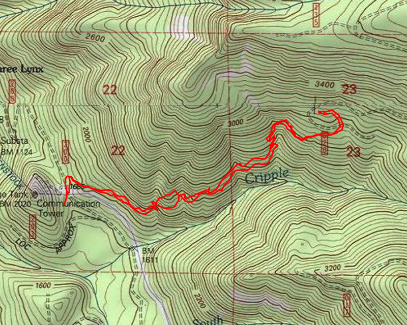
| Location / Trail | Cripple Creek Trail - 703 |
| Weather | Sunny |
| Hiking Buddies | Thor |
| Start / End | 10:0 AM – 1:00 PM |
| Distance / Elev | 4 miles 1500 ft elevation |
We headed up the trail from the pipeline road about 10:00 – there were only a few small patches of snow on the road – I think they were remnants from plowing. There was no snow on the trail at all when we started. At the first rockslide, I got these views looking south. I’ve been wondering/trying to figure out what the peaks to the left were. Kirk (and I) thought they might be Oak Grove Butte, but looking at the map, I think Oak Grove Butte is to the left (east) farther – out of view. I think these peaks are Granite peaks:


Looking to the west, there is Fish Creek Mountain and Whalehead (I love this function on my PeakFinder app – where you can take photos and it labels the peaks):

After enjoying the sunshine and the view for a bit, we continued up the hill. This trail is pretty relentless in its uphill. Never terribly steep, but just constant uphill. The trail was completely clear of snow until about 2700′, where we saw our first real snow, shortly before the clearcut:

We cleaned up some downed branches and continued up. Interestingly enough, the beginning of the clearcut was mostly clear of snow, but soon became more consistent and deeper. By the time we got to the first of the 130 spur road crossings, it was close to a foot deep. After that crossing, we got to one of my favorite spots on the trail – the spot between the two crossings:

Just a really neat grove of beautiful trees. One interesting thing – I noticed that none of the maps show the little “butte” to the west of the trail. It isn’t huge, but it does seem like it should be large enough to show up on the contour lines.
We continued up to the second crossing, where there was probably 18″ of snow on the road. This is one of MANY deer prints we saw on the way up:

Thor played on the road for a bit and for some reason, he was REALLY interested in this one deer print:

He kept shoving his nose in it and then digging and rubbing on it. It was really interesting to watch.
After a while, we headed back down to the little grove and found a spot in the sun on a log. We stopped and had some lunch. Then we headed back downhill.
As we were passing thru the clearcut on the way down, We came across something that was VERY fresh and I’m very sure it was not there on the way up:

I’m guessing it was from a bobcat or a lnyx – it seemed too small for a cougar. Those kitties are out there….
We continued down the hill, making really good time – soon we were out of the snow again. It was a pretty uneventful and short trip down (except for the scat sighting). We got back to the truck about 1:00 and then headed home.
A great day in the woods – the only thing that could have made it better would have been to have shared it with friends.