
| Date | 12/27/2019 |
| Location / Trail | Wenatchee - Burch Mountain |
| Weather | Partly sunny to foggy and cold |
| Hiking Buddies | Carly, Otis and Thor |
| Start / End | 10:50 AM – 1:45 PM |
| Distance / Elev | 7.9 miles 2100 ft elevation |
We drove up the road, which is the extension of the Burch Mountain Road (there are houses on it). At some point, it transitioned to gravel and eventually crossed into the national forest. Carly kept driving and we did OK on the way up. At some point we transitioned into ponderosa pine forest instead of just desert sagebrush, etc. We finally stopped at a spot where the snow was starting to get deeper:

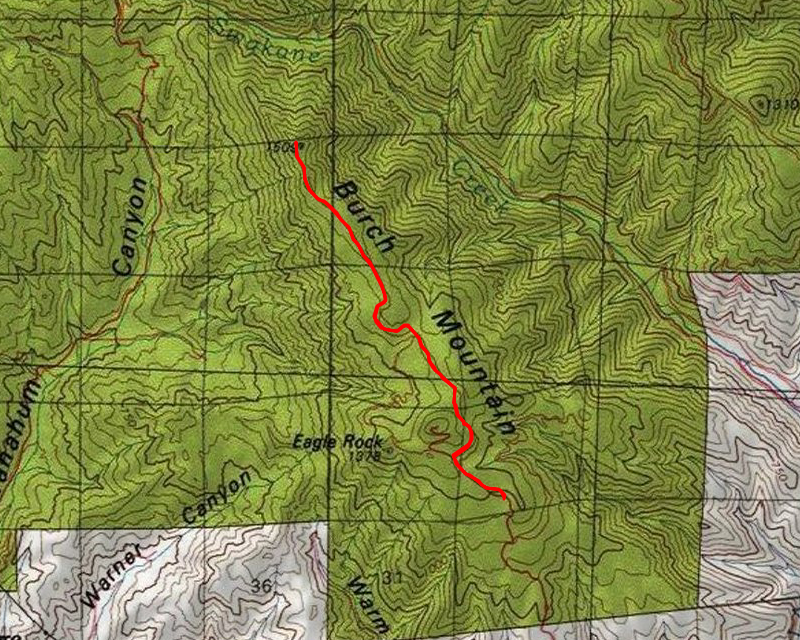
We headed up the road from that point – there had been no traffic up that way on that day so far. We just walked up the road. It was easy walking except for a few icy spots (I fell in one spot and jammed my thumb pretty bad – it hurt for a couple days). When we got up a little ways, the road split. We had to decide which way to go:

The left road would go up to Eagle Rock and we could look at a communication tower – the right road headed up to Burch Mountain. We opted to see how far we could get up to Burch Mountain – Carly had not been up there before. So to the right it was.
As we worked our way up the road, we got to an open area where we could see the communication tower that we could have opted to go explore:

We continued up the road and the snow just kept getting deeper and deeper although it wasn’t too difficult to walk in – we followed the tire ruts mostly – the dogs were having a blast in the deeper snow:

As we were making our way up, I knew we would be later than expected so I texted Gail to let her know – we had good cell service the whole way. Eventually, we got to the end of the road, but we weren’t quite up to the top yet. We had to take a narrow path past the end of the road up to the summit of Burch Mountain – I think it ended up being about a quarter of a mile to the summit from the end of the road. Here was our final push to the top:

When we were lower, it appeared as thought we were going to be socked in with fog, but as we headed up, things cleared up quite a bit. Here is the view to the west from the top of Burch Mountain:

And this was a shot looking back from where we came – you can see the communication tower in the distance – we more or less followed the ridge out:

We didn’t stay on top too long – the dogs were getting cold and we needed to get back. So we headed back down and back to the car. When we were close to the car we encountered a group of people in side by side’s heading up the hill, but those were the only people we saw all day. We made good time on the way down and then started driving back down the road – slowly – there were a lot of icy spots. In one spot Carly’s car started sliding sideways and I took over driving – we didn’t have any other treacherous spots, but it was a pretty slow drive back down the road.
It was an unexpectedly nice hike with a lot more snow than I was expecting to encounter and also quite a bit farther than I thought we would be going. But it all worked out well.