
| Date | 8/132/2022 |
| Location / Trail | Baty Butte Trail - 545 |
| Weather | Sunny but not too hot |
| Hiking Buddies | Kirk, Ollie and Thor |
| Start / End | 10:20 AM – 6:50 PM |
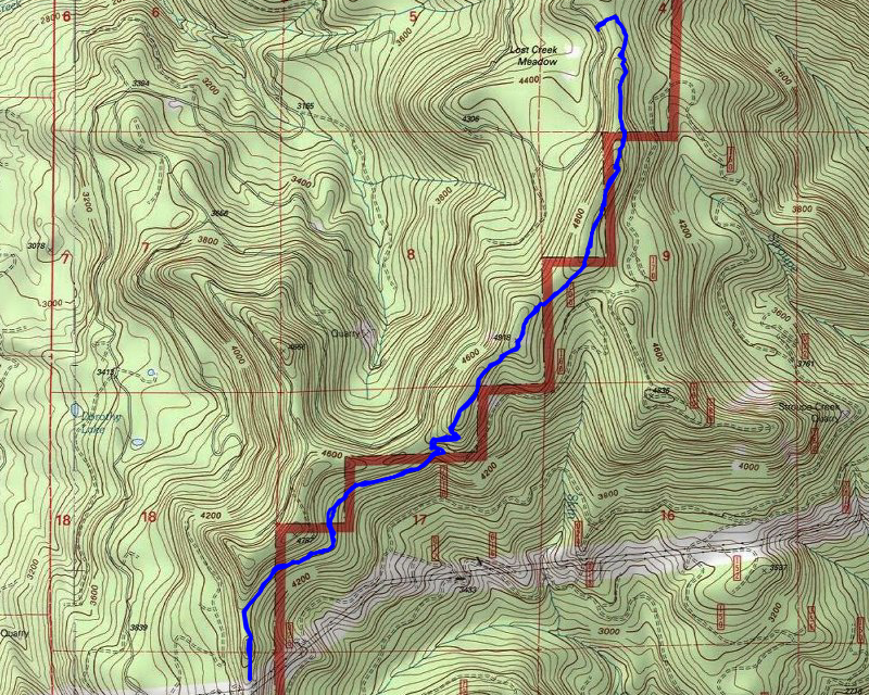
| Distance / Elev | 7.55 miles 2200 ft elevation |
We started out a little early, leaving the house about 8:30. We made good time to the trailhead – the roads were actually really good – not brushy or rough, just good gravel roads. We were almost to the trailhead and saw dust ahead of us – I couldn’t believe someone would be driving all the way up to this area – the access point is almost to the end of the road and there really isn’t anything else up there. Sure enough, we came upon another vehicle who stopped where we were going to stop. After talking to them for a bit, we realized we knew each other. It was Eric, who had come and helped us cut out some other trails several years ago. He was using this same access point to get to Skookum Lake. We talked for a bit and then headed out.
The beginning of the trail is a bit brushy and there is quite a bit of new blowdown. Once you get up to the edge of the ridge, the brush gets a lot thicker. We tried to clear what we could, but we only made a dent in it – it needs a LOT more brushing, and also a bunch of logs cut out. I stopped counting at 160 logs.
A little farther up the trail you get a good view of Mt Hood with Thunder Mountain to the right of it:

A little farther south, looking south, you get a good view of Olallie Butte and Mt Jefferson:

We continued along the trail, brushing the worst sections, and limbing downed trees to make passage easier. We only tackled the very worst of it however. This trail still needs a lot of brush work done on it. We continued south until we got to a sidehill clearing and stopped and had lunch. The dogs were already pretty thirsty so I gave them some water, but I should have brought more water.
After lunch we continued south, continuing the brushing in the worst areas and making passage easier. We got to the spring area that has a HUGE area of salmonberry growing in it and made our way thru that even though we couldn’t see the trail at all due to the salmonberry (I should have taken a picture). We continued past this area, getting back onto sidehill bench that wssn’t too bad for the most part, only having some vine maple growing across it in places. We got to a clearing – an old cut area – there isn’t really much of a trail in this area – if you are lucky there is kind of a route, but it isn’t terribly apparent. This is what one of the better spots in that area looked like:

Partway thru this area, I asked if we wanted to continue – it was getting late (about 3:30) and we had a long ways back to the truck – we decided to see how passage thru the clearcut went – we were hopeful that we would be able to reach the powerlines. We continued, and after getting thru that cut area, we got back into the forest and the tread returned – a bit vague in a few places but overall not too bad. We pressed on and soon made it to the powerline corridor:

We stopped here for a few minutes but by this time it was after 4:00 and we still had 4+ miles and some elevation to get back to the truck. We put away all of our trail tools (so we wouldn’t be tempted to do any more maintenance), turned around and headed back. I captured this picture of a segment not too far north of the powerlines – not too bad tread in this area:

And another of one of the rockfields along the trail – although this one didn’t have vine maple or salmonberry growing in it:

We continued back up the trail, slowly. When we got to the big sidehill meadow where we had lunch, there was this neat view in the fading daylight of Mt Hood:

We got back to the truck just before 7:00, loaded up and headed out. I think the dogs were exhausted as they just plopped down in the truck.
Driving back, the low sun in places was so bad I had to stop almost because I could not see a thing. We made it back into town and were starved – since this wasn’t our “usual” route, we decided to try dinner at the cafe in Beavercreek. It was a great way to end a great day of hiking.