
| Date | 5/28/2013 |
| Location / Trail | Music Creek Falls and Wanderers Peak |
| Weather | Overcast and rainy most of the day with occasional sunbreaks |
| Hiking Buddies | Kirk and Brian |
| Start / End | 1:45 AM – 6:15 PM |
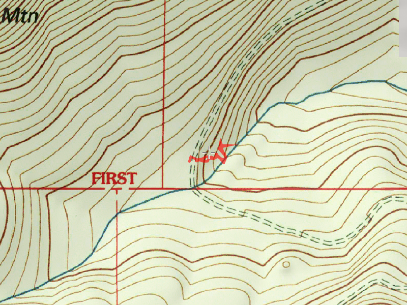
| Distance / Elev | 5.4 Miles - Wanderers Peak .25 Miles - Music Creek Falls |
The day took a bad turn when we encountered 12-24″ of snow on a sheltered area of the 4550 road near Pick creek. After looking at the snow (and the downed tree across the road), we opted to go for “Plan B”. Here is what stopped us:

We passed Music Creek and there is a very interesting waterfall just off the road. We turned around and went back to explore this waterfall a bit. A short hike from the road brought us to this surprising waterfall which is about 60′ or so in height. It was running pretty wild on this day due to all the rain we have had. On lower flow days, you can rock hop across the creek and go into a cave behind the waterfall, but today the waterflow was WAY too much to attempt this (without getting completely soaked in the process – we were getting wet enough due to the rain all day long). The waterfall ampitheater is very interesting – not a typical place for a waterfall. It was just kind of a bowl on the side of the hill – beyond which looked pretty normal. Very neat place to visit.

After exploring the waterfall for a bit, the plan was to go up to Wanderers peak and do some more exploring up there, potentially looking for an old trail that was supposed to exist there. We started up the spur road to Wanderers peak, and were quickly stopped by a bunch of downed trees across the road. We didn’t have anything to cut them out, so we parked and walked up the road to Wanderers peak. On the way up, we found a couple of animal skeletons. First, what appears to be a cougar skeleton:

Next was a pair of elk skeletons:

We walked up to the weather station there and explored a bit. I found that the “conduit” that I had seen last fall in the snow wasn’t really a conduit. What I thought had gone into the ground was really just sitting there – essentially it was just garbage. Mystery solved. When we got there it was REALLY foggy and rainy off and on, but after being there for a while, the fog cleared out a bit and we got a reasonably good view across the canyon to Fish Creek Mtn, Whalehead and Camelsback. The clouds kind of came and went, but we had a pretty good view from a rock outcropping below the weather station.
From there, we proceeded to head up to the “summit” of Wanderers peak on an old double track “road”. It led up to a campsite near the peak (it is pretty flat on top of Wanderers peak). We found another rock outcropping and enjoyed the views for a while until a large dark cloud came in.
The view from the top of Wanderers Peak:

We then started looking for the mystery trail. There are a LOT of small little “trails” up on top of Wanderers Peak – we wandered around a bit looking for tread, blazes or cut logs and were about ready to leave when Kirk found what he thought was a blaze (after traversing a particularly difficult section of rhodies and small fir trees). From there we continued north along the ridge, looking for blazes and cut logs. We found virtually nothing of existing/recognizable tread, but we did find quite a few blazes and a few cut logs. The terrain is relatively flat open as it progresses down the ridge. After progressing down the ridge a ways 3/4 a mile or so, the wind and rain was picking up, it was getting a bit late, and we started hearing thunder in the distance. Rather than continue looking for trail and going cross country, we opted to walk down the spur road to the end of the ridge. From there, we went downhill to road 45 through some rather dense reprod. Once on road 45, we walked back to the spur we parked on then up the spur. On the way up, there is a small spur to the east where we stopped and took in another view of the Fish Creek drainage. It was sunny for a bit, but then quickly turned back to drizzle and then rain, so we packed up and headed back up to the truck.
All in all, it was a great salvage of a day after a disappointing start. The waterfall, the views of the Fish Creek drainage and finding some good evidence of the old trail made for a wonderful adventure. And to top it all off, the weather wasn’t nearly as bad as I thought it might be. It probably only rained half of the day, and most of the rain was pretty light.