
| Date | 11/25/2013 |
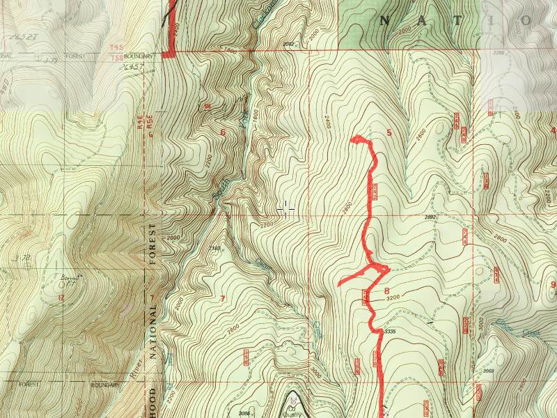
| Location / Trail | East of old Hillockburn Trail |
| Weather | Sunny |
| Hiking Buddies | Bodie (my dog) |
| Start / End | 10:30 AM – 1:15 PM |
| Distance / Elev | 5 miles |
While the snow has not buried all of the higher elevation trails, anything above about 4000′ or so seems to be out of range for hiking. So, I had to try and find a trail that appealed to me that was lower than 4000′. My first thought was to go back to Cold Springs and do some more cutting on areas that badly need it. My saw was still in the shop, so that idea did not fly. I looked at a few others, but they were either too high, or too far for a short day trip. I was still recovering from the Cold Springs trip two days prior, so I wanted a relatively easy, short hike.
The original goal was to drive out the 45-242 spur and then just hike down to where we hiked to from the other side of the old Hillockburn trail (not sure if that is the correct name for it or not). Since the gate was locked at the junction of road 45:

So we ended up walking all the way down to the jump off point. It was an easy and interesting walk.
Shortly after we started down the road, we were presented with this odd sign:

The day turned out to be a lot more about the Silvacultural research station that used to be located here. I’m not sure when it was abandoned, but the research areas are still all fenced off, with tags on trees.

You can see from this photo it has been a while since anyone drove into this particular fenced area:

At the junction of the 240 and 242 spurs is where the research station used to be located. You can still see a lot of remnants of what was there – an old outhouse (turned on its side with a missing roof), old roofing materials, lots of firewood, and the outline of a burned structure, which I’m assuming was the actual research facility. You can see what looks like office chair pedestals, and a couple of filing cabinet drawers along with some other rusty burned stuff. It was interesting to poke around all this stuff.
The old outhouse:

The old burned out building footprint:

Some of the rusty relics:


Some of the tags on the trees:


The fenced off area:

When I came down the 240 spur, I saw the turnoff to the research station and mistakenly thought it was the 242 spur road. We walked north until we hit a fence, then we followed the fence mostly west (a little south) to another fence. These fences are 8′ high, and are still in surprisingly good shape. I found a couple spots where people have jumped the fence, but the top of it still has 2 rows of barbed wire. I wasn’t about to try and navigate that, plus I had the dog, who wouldn’t be able to climb the fence anyway.
Here is the “road” we followed the fence:

I headed back thinking we were done for the day. When we got back to the 240 road, I looked down the road a bit farther and lo and behold, there was the 242 spur road heading north. We took off down that road to our jump off point.
Here is the 242 spur road:

One thing that was troubling – we saw several piles of neatly stacked logs – probably 25-30 cords of firewood at least. All sitting there just rotting away. Why did they leave so much wood?

When we got almost to the end of the road, we headed west, downhill searching for the point where we had come up from the other direction several months ago. The going was brutal. First, we had to navigate a VERY dense thicket of small fir trees. Actually, I think there were a couple of those.

Once we got through those, we were presented with this – a BUNCH of downed logs:

After the difficult day we had Saturday, I didn’t think I was up to navigating all of those downed logs. We still had to hike back up to the truck! So, we decided to turn around and head back. We ended up getting about halfway to where we ended up last time (probably about a tenth of mile away).
The trip back was relatively un-eventful and went quickly. The elevation gain was pretty easy since it was all well graded roads. We ended up back at the truck about 1:15 and then headed home. A short, but very nice day in the woods. The weather was SPECTACULAR! I was dressed for cold weather, and although it was a big brisk in some of the shady areas, it really was pretty warm up there – especially in the sun. It was nice to get out and enjoy a unique area on a nice fall day. Maybe I will return when that gate is open and I don’t have to walk all that way – then I would have enough energy to negotiate all the underbrush and downed logs.