
| Date | 4/23/2017 |
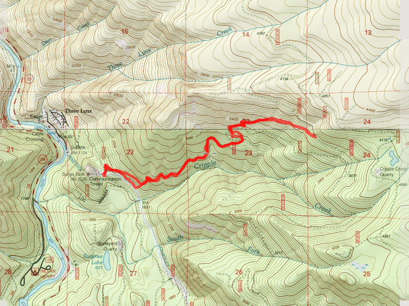
| Location / Trail | Cripple Creek Trail - 703 |
| Weather | Varied - Misty/Rainy to sunny |
| Hiking Buddies | Bob, Robert, Carly, Buddy and Thor |
| Start / End | 9:50 AM – 4:45 PM |
| Distance / Elev | 5.75 miles |
This hike had two new hiking friends – Bob and Robert. I hope they had fun on the hike. It was a good day for Carly, Thor and I!
We headed up the trail, cleaning up some of the wintertime messes as we went. Shortly, we got to the “grotto”, the small waterfall below the hillside meadow:

We continued up into the hillside meadow and beyond. I was amazed we were not seeing any evidence of snow at all. Based on the snotel data, I was expecting to see at least a little bit. We continued up the trail and got to the campsite at the 4635-130 spur road. We ate lunch and then decided to see if there was a view on the small hill just south of the campsite:

We hiked over and unfortunately there wasn’t much of a view since the whole hillside was covered in trees. We did see this campsite further down that spur road, however. I never knew it existed:

We went back to the campsite at the spur road crossing and finished lunch. This is the best photo I could get of Carly and Thor near the spur road Campsite (Thor kept moving):

We continued climbing the hill and shortly got to the rockslide below the 4635 road, which had a great view – the clouds parted for a bit on the way back down for a better view:

As we made our way thru the clearcuts and rock fields, we did some trimming of the ever encroaching brush – hopefully it helps keep the trail clear. Shortly, we then made it to the 4635 road crossing, which was approximately 3800′ where we found a bit of snow (there was a bit on the trail below as well) – I wonder if you could drive this far up on 4635 now?:

We stayed on the road for a bit – Robert got a cell signal and was looking for potential geocaches, but the signal was not good enough to really determine where they were. We discussed going up to the end at the Cache Meadow trail junction, but decided we should probably head back down. That turned out to be a good call, as shortly after we got back to the car, it started raining pretty heavily.
It was a fun day in the woods with new hiking friends.