
| Date | 11/21/2020 |
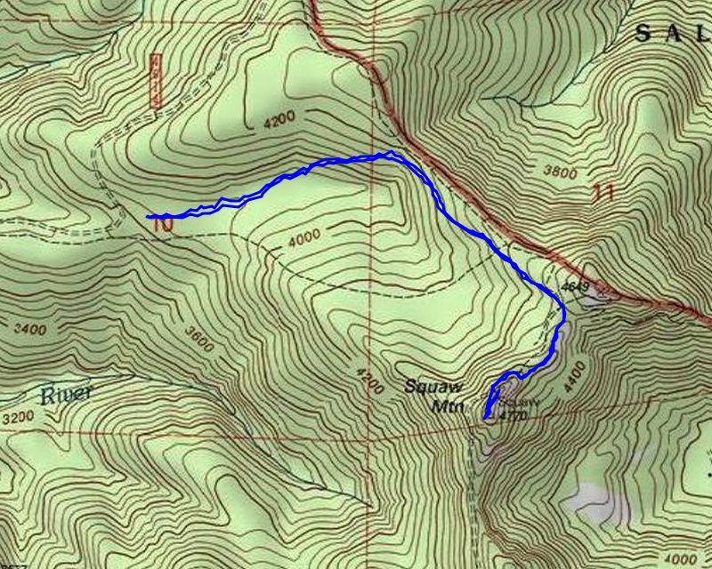
| Location / Trail | Fanton and Old Baldy Trails - 505, 502 |
| Weather | Sunny but cold |
| Hiking Buddies | Thor |
| Start / End | 10:00 AM – 12:30 PM |
| Distance / Elev | 3.3 miles 1000 ft elevation |
We got to the chosen access point a bit before 10. When we got there, a woman was there – I rolled down the window and asked where she parked – she said she parked down at the Fanton trailhead. She had gotten an early start! Anyway, she headed out and we got suited up for the cold and snow and then headed out a few minutes later. Although the trail was snow covered the entire way, it was easy to follow – there have been others hiking this trail after the snowfall. The snow was mostly crunchy and hard down lower – as we got higher out of the trees we got into some new fluffy snow however.
On the way up, there were several points where the sun was shining thru the trees on the snow. I caught one of the on my camera:

We made pretty good time – I actually missed the junction with the Old Baldy trail (I missed it on the way down too). I was thinking we should see it soon and I looked at my phone and we had passed it. Soon after that point, we got to the now unmarked junction to Squaw Mountain (the sign fell off the tree):

We continued straight to head up the Squaw Mountain. A little farther up the trail there was another beautiful show shot with the sun:

It was about at this point where I put on my snowshoes. I wasn’t sure if I would need them or not, but I brought them just in case. I could have made it without them, but there were enough sections where they came in handy.
It didn’t take long for us to reach the road and then the old garage location and lookout. The views were spectacular! Here was Mt hood from the old lookout location (you can see the old steps):

Next I headed to the south end of the ridge to see if I could get a good view of the the Riverside fire damage. Unfortunately it was hard to see a lot – it is too far south:

Got to see the tip of Mt Jefferson:

And then heading up to the north end of the ridge, we got to see St Helens, Ranier and Adams – they were a LOT clearer in person:

As we were looking around, the woman who we had met at the parking area came over – she had been down the ridge a bit. We talked for a bit (keeping our distance of course). She has been discovering the Clackamas district and hiking a lot of the trails she can. There were others she wanted to hike, but was unable to because of the fire. She then headed back down.
It was still a bit early, but I thought we should eat some lunch before heading down. It was a bit windy on the ridge, so we headed down to the old garage foundation and ate some lunch there. While we were down there, another group came walking up the road with 2 dogs. The headed up to the lookout.
We finished lunch, packed up and headed down. The trip down was pretty quick. On the way down we encountered (I think) 2 more groups of people. I’ve never seen this trail so busy, especially in the winter! We made it back to the truck, and after getting everything packed up, I started driving out, and someone was trying to head up the spur road to the trailhead! Kind of a late start it seemed. But on the way out, I ran into about 10 vehicles coming up! There were a lot of people in the woods!
As I passed one of the spur roads (167 I think), I saw a car parked there – There have been people shooting down this road and the Fanton trail crosses it. I backed up and asked if they were shooting and said there was a trail down the road. They seemed to appreciate knowing that and I think they were going to pack up. I wish they would put up a “no shooting” sign on this road.
Since we were so early, I decided to drive down 4613 to see how far I could get – I figured they probably blocked it at some point since it intersects 4610 which has been closed since the fire. Sure enough, it has a big concrete barrier at the North Fork Crossing:

We turned around and this point and headed home. It was a short day, but a really nice one. I’m glad I was able to get out.