
| Date | 10/22/2022 |
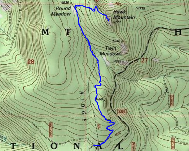
| Location / Trail | Hawk Mountain - 564 564A |
| Weather | Overcast and Snowing |
| Hiking Buddies | Thor |
| Start / End | 11:00 AM – 1:00 PM |
| Distance / Elev | 4.3 miles 1100 ft elevation |
We drove road 46 as far as we could and got to the boundary with the Willamette National Forest. It was here we saw this new gate (which was closed, as expected):

Road 46 north of powerlines had been heavily cut due to the burn damage from the Lionshead fire:

We made it to the trailhead at the junction of 6355 and 6355-150 – there was a lot more snow than I was expecting:

I decided to just give it a try – I wasn’t sure how good the trail was after the fire, and with it obscured with snow, I wasn’t quite sure if we could find our way. I figured we’d just try and if it got too hard we’d just turn around and make it more of a driving tour day.
We started up the trail and it wasn’t too bad to determine where to go. The snow was probably 1-2″ deep – a few spots under trees (that hadn’t burned) were clear, but most of the trail was covered in snow. This is what the trail in the open area looked like as we headed north:

Once you go thru that “open area” (it was open before the fires, but is more open now), you enter the woods. This part is all burned now. This is what it looks like once you enter the woods – it is easy to see the trail corridor, but all the trees are gone:

As we headed north, we did encounter some areas that did not burn:

It is sad – this area burned in both the Lionshead fire of 2020 and the Bull of the Woods complex fire of 2021 – not all of it burned in both fires, but there was some overlap, including Hawk Mountain.
We made it to the junction with the trail up to the cabin:

And proceeded up the hill thru mostly burned area, but the area right below the cabin didn’t burn – you can see the old bracket for the tower in the snow:

And then we open up to the top of Hawk Mountain and the 80ish year old cabin – I’m so glad it did not burn:

We opened up the cabin to get out of the snow and wind. Inside it still looks the same as I remember from past trips:

We ate lunch in the cabin where it was warmer (and drier). I looked around a bit, left a note in the register and since Thor was getting restless, closed up the cabin and then we explored the top of the Mountain a bit. Here is a shot looking back at the cabin from out in the meadow – you can see a big tree they cut down in the fires:

And then looking southeast you can’t see a thing today – normally this is an OUTSTANDING view of Mt Jefferson:

After looking around on top for a little bit, we headed back down. Right near the junction with the trail to the top there is Round Meadow – I don’t think I ever took a picture of it before:

I also took some more photos of the trail heading thru some of the burned areas – used to be heavy forest in this area before the fires:

We made it back to the truck about 1:00 – so we’d only been hiking about 2 hours or so – I knew it would be a short day and it turned out pretty well. We didn’t get too wet or cold.
We started the drive home and since we were driving right by it, I decided to make a short side trip and check out the trailhead for the Red Lake trail. I kind of expected this based on what I had seen from the burn severity maps, I kind of expected this area to have burned pretty hot. It did – here is what is left of the Red Lake trailhead sign:

And the actual Red Lake Trail right at trailhead – I don’t think any work has been done on this trail, and it looks pretty rough to follow at this point – the duff is COMPLETELY gone in this area and it is 100% tree mortality in here:

After looking at the Red Lake trailhead we headed home. It was a short, but really nice late fall day in the woods.