
| Date | 8/2/2023 |
| Location / Trail | Gods Thumb |
| Weather | Sunny |
| Hiking Buddies | Abby, Carly, Otis and Thor |
| Start / End | 10:40 AM – 1:05 PM |
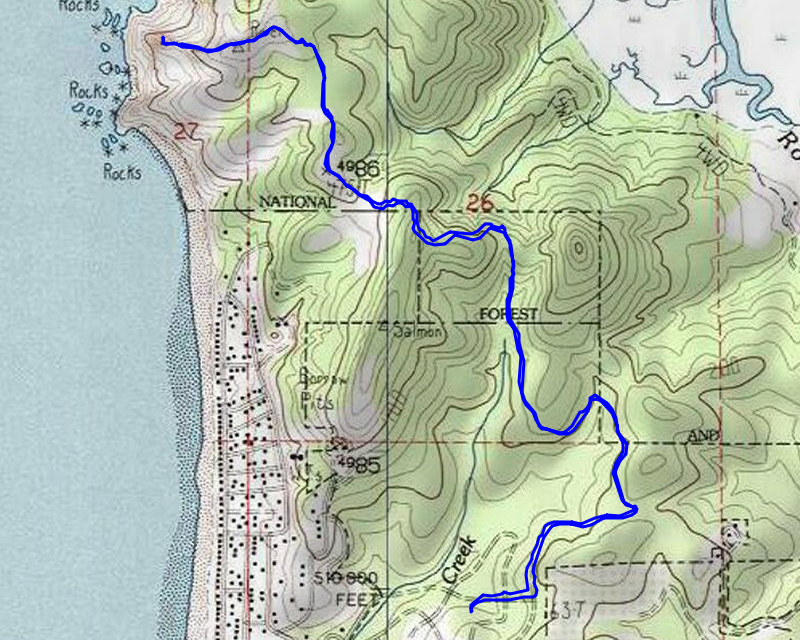
| Distance / Elev | 5 miles 1200 ft elevation |
We drove the short distance from our rental house to the trailhead, which is apparently at the cul-de-sac of a failed development. There are parking spots marked up the road. When we got there, there were only 3 or 4 cars parked there. We headed down the trail. Near the beginning, it looked something like this – it was wide like a road:

The first part of the trail winds thru pretty dense forest – some younger and a lot of it older. About a mile and a half up the trail, you get to a junction – one trail heads back to “The Knoll”:

And the other way continues out to God’s Thumb:

A little farther up, you get a partial view of the tidal flats on the Salmon River:

As you progress along this trail, it goes up and down quite a bit – most aren’t too steep, but a few areas are exceedingly steep – here is an elevation profile of the trail (in and out):

As you get nearer to the ocean, the trail breaks out into a meadowy area:

It ducks back into the forest for a bit where we saw this VERY, VERY old tree (the picture doesn’t really show how big it was):

It then comes back out into a grassy area, which is coming up to the high point of the trail:

And then we get to the high point of the trail:

And soon get our first view of God’s thumb:

After seeing it, you drop down into the saddle below it. It gets a bit more imposing as you get closer:

The trip across the saddle got a bit breezy and the trail follows the top of a slide area, but wasn’t too difficult to navigate. Once across the saddle, the trail gets very steep for its last ascent to the top of “the thumb”. We took our time and soon made it to the top, where you got an incredible view. This was looking north:

And then Abby took this picture of Thor and I up on top:

We were fortunate to have the top to ourselves for a few minutes. We soaked in the views, took a few pictures and then headed back. When we got across the saddle, there was a couple with a baby in a backpack and they were debating whether or not to go over to the thumb. There is a sign saying that portion is a non maintained user trail (which it totally is). I told them that as long as they were careful I thought it would be OK. It was completely dry – in the winter I think going up to the top would be extremely dangerous – it would be a muddy mess. They decided to give it a try.
As we were heading out, we encountered quite a few people. I lost count how many people we encountered but it was quite a few. When we got back to the car, the line of cars went a ways back up the street. We were fortunate to go at a good time!
It was an interesting, reasonably strenuous hike with a great surprise at the end. I’m really glad Abby suggested it. It was a totally unexpected surprise on our vacation!